Type to search. Use arrow keys to navigate results. Press enter to view all results.

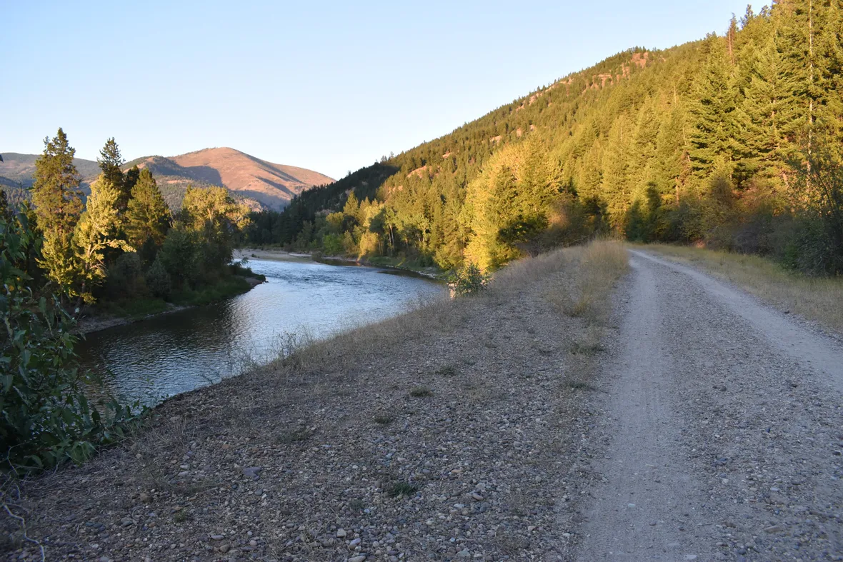
This wide dirt trail runs parallel to the Clark Fork River in the middle of town. It is easily accessible from many areas, especially from the bridges over the river (the pedestrian bridge by the University of Montana, the Madison Street bridge, the Higgins bridge, and Orange Street bridge). Starting by the Osprey baseball park, you can find the zero mile marker. Heading east towards Mount Sentinel, mile markers are posted up to three miles. This flat, well groomed trail is a favorite for many Missoulians and is about 1/4 mile from Runners Edge (go South over the Higgins bridge. Take your first right off the bridge and follow the stairs down to the trail. Boone and Crockett will be on your left, the Kim Williams Trail just ahead).
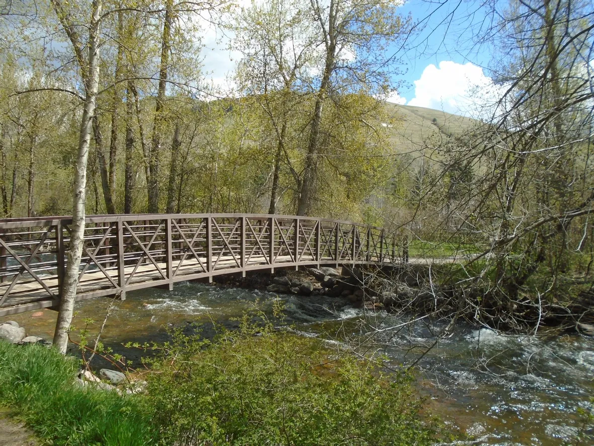
This area features a wide paved trail that runs around the perimeter of the park. The paved trail is a little over a mile long with short, single track trails branching off the main path. Rattlesnake Creek flows through Greenough making it a welcomed area, especially during the warmer summer months. Greenough Park sits between Van Buren and Duncan Drive, just to the north of Interstate 90. It is about 3/4 mile from the Runners Edge (from Higgins head north one block and take a right on Spruce. Spruce eventually turns left into Duncan Drive. Go under the overpass and Greenough Park entrance is just ahead).
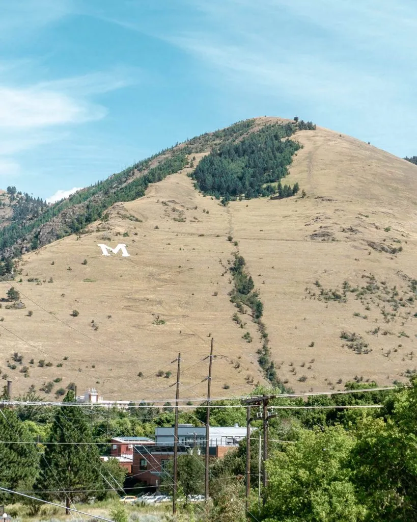
In the University of Montanas backyard lies Mount Sentinel, reaching over 5000ft at its summit. A good hiking and running trail begins in the backyard of the UMs campus and extends past the M to the summit. The M is one of Missoulas top attractions and rewards anyone who reaches it with fabulous views of the city and beyond all year long. The 13 switchbacks that rise over 600 feet in just over a half mile promise a vigorous workout. But just about the M is a fairly flat fire road that heads south about 2 miles before descending back down to the base of the mountain to the Universitys golf course. There are a number of trails on this mountain so make sure to stop by the Runners Edge or check out Map My Run for further details.
This area boasts miles of trails accessible for running, hiking, mountain biking, horseback riding, and more along the Bitterroot River (a little game of folf anyone?). It also includes the Maclay Flat Interpretive Trail, with one larger loop (3k) and one smaller inner loop (2k), both fairly flat and well groomed trails. Since this area has many trails, a closer look at a map may help those interested. This Recreation Area is located just two miles southwest of Missoula. Take Highway 93 south to Blue Mountain Road. The first trailhead is 1 mile up this road. The next left is the Lookout Road, 365 and the next right is the Maclay Flat Area.
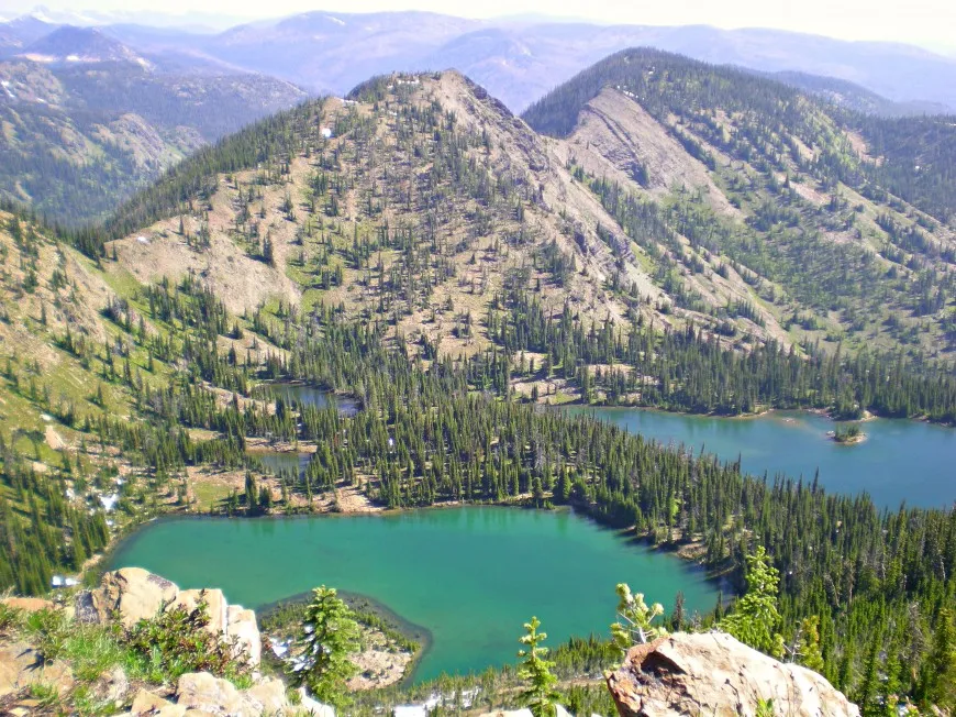
This area, located only 4 miles north of Missoula, is a 61,000 acre playground for runners, hikers, mountain bikers, cross country skiers and more. Popular trails from the main trailhead include Rattlesnake Creek and Spring Gulch. The main trailhead is wide and fairly flat but most trails are single track and often have an elevation gain. To access the Rattlesnake Area, take the Van Buren Street Exit off I-90 on the east end of Missoula and go 4.5 miles north on Rattlesnake Drive to the main parking area.
Since both these areas have a number of trails, please see us for any questions or visit www.fs.usda.gov/lolo for more in-depth details.